Adamawa State Geographic Information System
Menu
Welcome to Adamawa State Geographic Information System
Welcome to the official portal of the Adamawa State Geographic Information System (ADGIS). We serve as the state’s central hub for geospatial intelligence, digital land administration, and geographic data management.
ADGIS provides accurate, up-to-date, and accessible mapping solutions that support governance, development planning, environmental protection, security operations, and private investments across Adamawa State.
Through advanced GIS technology, modern digital tools, and a committed professional team, we make land and spatial information easy for government agencies, developers, researchers, and the public to access and utilize.
The Adamawa State Geographic Information System (ADGIS) is a specialized agency established to digitize, manage, and secure geospatial and land-related information for the state.
We support the government’s drive toward modern land administration, sustainable planning, and infrastructure development by offering precise spatial data and digital services.
ADGIS integrates satellite imagery, drone mapping, GPS surveys, and advanced GIS platforms to maintain a comprehensive spatial database for the entire state.
Our operations improve decision-making, reduce land disputes, streamline development processes, and strengthen transparency in land governance.
Key focus areas include geospatial data management, cadastral mapping, environmental monitoring, planning support, and technical advisory services for public and private stakeholders.
Digitally Mapped Land Parcels
0
K
Geospatial database of digitized road networks
0
K
Satellite imagery datasets
0
K
Detailed geospatial maps
0
K
Vision Statement
To become a leading geospatial and land information agency recognized for accuracy, innovation, and excellence in delivering world-class digital mapping and GIS solutions that transform Adamawa State into a fully digital, transparent, and efficiently planned environment.
Mission Statement
To deliver reliable, modern, and comprehensive geospatial and land information services that strengthen planning, enhance transparency, and support sustainable development across Adamawa State through the application of cutting-edge technology and professional expertise.
Our Mandate
To manage, digitize, and maintain accurate geospatial and land information systems that support effective planning, responsible land administration, and data-driven decision-making across Adamawa State, while ensuring transparency, accessibility, and technological efficiency in all spatial services.
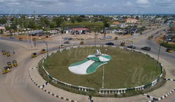
See Adamawa State in its full detail
mapped, defined, and digitally represented through the power of ADGIS technology.
The Adamawa State Geographic Information System (ADGIS) was established in 2010 to advance GIS development and facilitate the issuance of Certificates of Occupancy (C of O). ADGIS provides digital mapping and geospatial services to state agencies and organizations, offering consultancy and GIS reporting services that deliver expert solutions without the need for clients to invest in software or training.
Get In Touch
Feel free to contact us using the details provided below.
The Adamawa State Geographic Information System (ADGIS)
Opening Hours
Open Daily 9am–5pm Mondays – Fridays